Why did we call this service Formby Reporter?

ALL our websites take their names from the settlements on Merseyside, including its City, with the hub website being the county name, Merseyside. The adventure we have undertaken online all began in Formby, when we first started online news coverage on a local website within the village. This small start lead to the idea of our online only newspaper that was to become Southport Reporter and later Mersey Reporter.
About Formby

This is a bit of information about Formby Village.

Where is Formby?

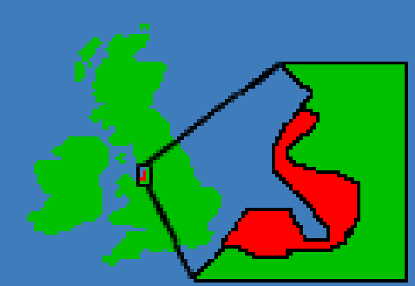
Location within Brittan

Formby geographically is sited midway between Southport and Liverpool. You can see its location on any map easily as Formby points out in to the Irish Sea and is often marked as Formby Point. It is also located between 2 military bases and 2 internationally renowned golf courses,

Formby's regional association is Merseyside, which falls under the Liverpool City Region. It is located in the Northern part of that region, within the area known as Sefton. The area is run under the control of Sefton Metropolitain Borough Council.

Formby's Past

Development of Formby

Formby was originally a small village, but it has grown to swallow up its neighbouring villages. This expantion stated in the mid to late 1900's forming what we now know as Formby.

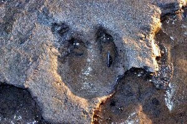
Evidence of man though using the area stretches back to approximately 3,500 to 4,000 years ago. This evidence has been confirmed after erosion of sand on the beach at Formby revealed layers of mud and sediment, with footprints, laid down by Neolithic and early Bronze Age man.

Viking History

Formby's Ancestry

Formby is thought to be one of the oldest settlements on Merseyside and believed to be founded by Viking settlers. Oddly the vast majority of the oldest buildings within the Formby are found in the Freshfield half of the village.

The other historic part of the area's rich history that can be seen, is the remains of a building that is sadly being eroded very fast into the Irish Sea. Those remains are of the world's 1st ever lifeboat station, located on Formby Point.

Rivers and streams

The areas rivers and streams.

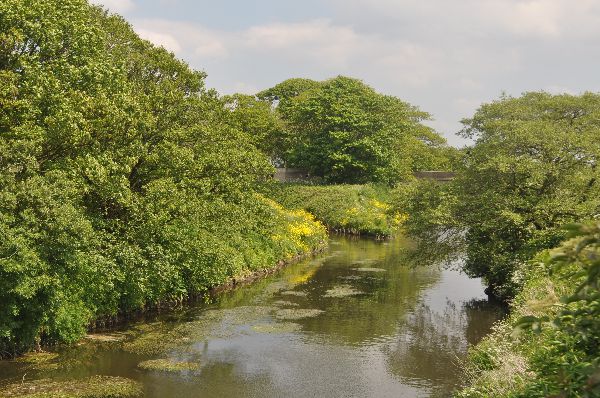
The nearest river is the Alt, that passes the village on the South side.  The rivers easterly is located just a few miles down the coast within a village called High Town. Formby was once a very wet area, and many streams can be located within the area. Many have been hidden due to urban development, with many being diverted into culverts. This has lead to some areas being flooded when heavy rain falls. The well known and easily found stream, that you can still see today is Dobb's Gutter. It flows past Formby High School, in the centre of the village. To the North the small stream Wham Dyke marks the edge of Freshfield and the start of farm land. Also we have a short river, called Downholland Brook that runs to the East of the village, past the Formby industrial Estate, joining up with the River Alt by the Formby By-Pass. That is in fact the last major contributory to the River Alt.  In the 1900's a small Light House stood on the Northern banks of the river Alt.  Its exact location is not 100% known, but it was located in a part of what is now Formby, in Little Altcar, 

The areas Military connections

Formby has got a hidden past.

Formby's military heritage can also be found throughout the area. On the banks of the River Alt you can still find World War 2 gunning emplacements, as well as areas on the Sand Dunes, 

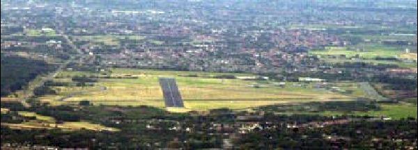
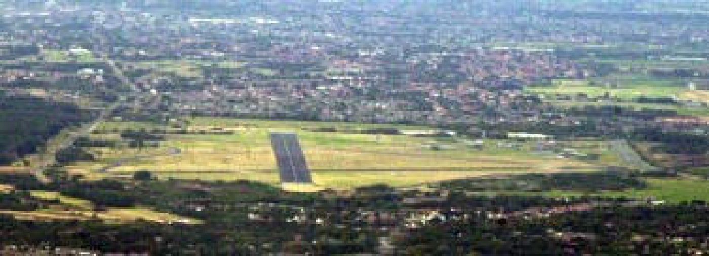
Over World War 2 RAF Woodvale was built and Formby Hall was to become a location for one of the experimental Radar testing sites. 

After World War 2, RAF Woodvale was the very last place the world famous Spitfire flew on active operational duties for the Royal Air Force.

The sand dunes hold a few Cold War secrets as well. On the South side of Formby Point, located on a fast eroding sand dune can be found the remains of a small Nuclear Observation Bunker.

Altcar has an even longer connection. Technically, not Formby, as its located nearer High Town and has its base entrance on that side, the base has had a very close connection to the area, thanks to areas like the Bunker.

Formby has other hidden military connections as well, that includes war graves from both the 1st and 2nd World Wars.

This also has had a hidden military connection, along with a miniature railway. The remains of the miniature railway can still be found to the South of the village, between Altcar and the nature reserve, as well as a small stretch of farmland.

Wildlife and Golf...

Formby's green and pleasant land

Despite its size, this area is world famous for many things, from growing a food plant called Asparagus, though to having not 1, but 2 internationally renowned golf courses;- Formby Hall and Formby Golf Club.

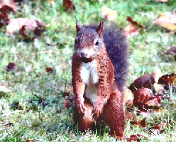
The area is also well known for its incredibly rich ecosystem, having 3 major nature reserves, contain all types of endangered fauna and flora. The most well known being the Natterjack Toad and the other major inhabitants being the Red Squirrel.


Learn how the area, now known now as Merseyside, and how its development has affected the World as we know it.

SHARE THIS PAGE!